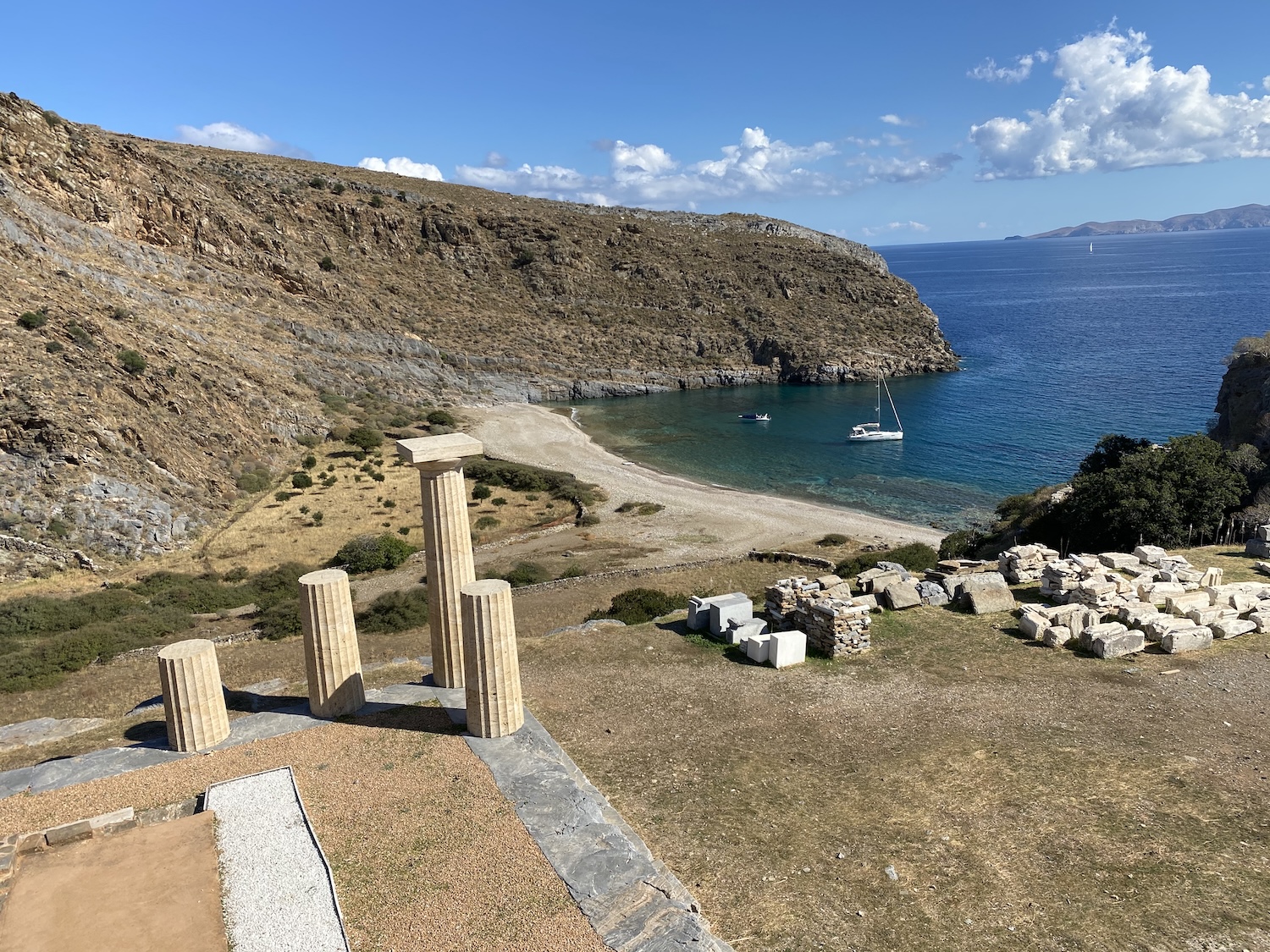
Evia is Greece's second-largest island — 3,684 square kilometres, about 180 kilometres long — and almost nobody sails it. That is a mistake, because its geography does sailors a favour: two long gulfs, the North and South Euboean, lie along its western side and cut the summer meltemi off entirely. Inside the gulfs the water is flat, the towns are real working Greek towns, and the distances between stops are short.
The island has another claim you may not know. In the 8th century BC, its two great cities, Chalkis and Eretria, sent colonists to Italy — Cumae, near Naples, came first. They carried with them their local version of the Greek alphabet, and it was that Euboean alphabet the Romans learned and turned into the Latin one. Letters you are reading right now follow shapes that were standardised on this island.
This guide covers what to see, what to do, the best beaches and swim stops, where to eat, and everything you need to plan a visit by boat.
Why visit Evia?

Start with the Euripus. At Chalkis, the channel between the island and the mainland narrows to about 38 metres, and the water in it behaves like no other in the Mediterranean: the current reverses direction roughly four times a day and can run at up to six knots. The phenomenon puzzled scientists for centuries until the director of the Athens Observatory, Dimitrios Eginitis, finally explained it in 1929. Stand on the old bridge in the centre of town and you can watch the sea change its mind.
Then the variety. Evia is three islands in one: a green, forested north with thermal springs; a mountainous centre around Mount Dirfi at 1,743 metres; and a dry, windy south under Mount Ochi where wind farms line the ridges. The Aegean side, open to the east, is wild and empty. The gulf side is calm and settled. You can choose the character of your trip by choosing your side.
And the practicality. The island connects to the mainland by bridge and suburban rail, so provisioning, crew changes and repairs are easier here than anywhere in the Cyclades. For crews starting or ending a charter in Athens, Evia is the most accessible good sailing in Greece.
What to see in Evia
Chalkis and the Euripus
The capital sits on both sides of the strait. The old bridge in the town centre slides open sideways to let shipping through; the cable-stayed new bridge of 1992 carries the main road south of town. Watch the current reverse from the waterfront — at slack water the eddies stand still, then the whole channel turns. Above the town, the Karababa fortress (Ottoman, on the mainland side) gives the best view of the narrows, and the small archaeological museum covers the city's long history. Aristotle came to Chalkis at the end of his life and died here in 322 BC, in his mother's house.

Eretria
Across the South Euboean Gulf from Chalkis, Eretria was one of the great Greek cities until it was destroyed by the Persians in 490 BC — the trigger, in part, for Marathon. The archaeological site holds a theatre, gymnasium and temple precinct, and the museum displays originals found on site. The modern town is a low-key resort on the gulf, with the ferry to Oropos on the mainland.
Karystos and the deep south
At the island's southern end, Karystos is a handsome planned town with a Venetian fortress, the Bourtzi, standing on its seafront beach. Above it rise the ruins of the Castello Rosso at Myloi, ancient marble quarries and the strange dragon houses — massive dry-stone buildings of unknown date scattered on the slopes of Mount Ochi. The Dimosari gorge, a shaded walk up a streambed with springs and plane trees, is the best hike on the island.
Kymi, the balcony of the Aegean
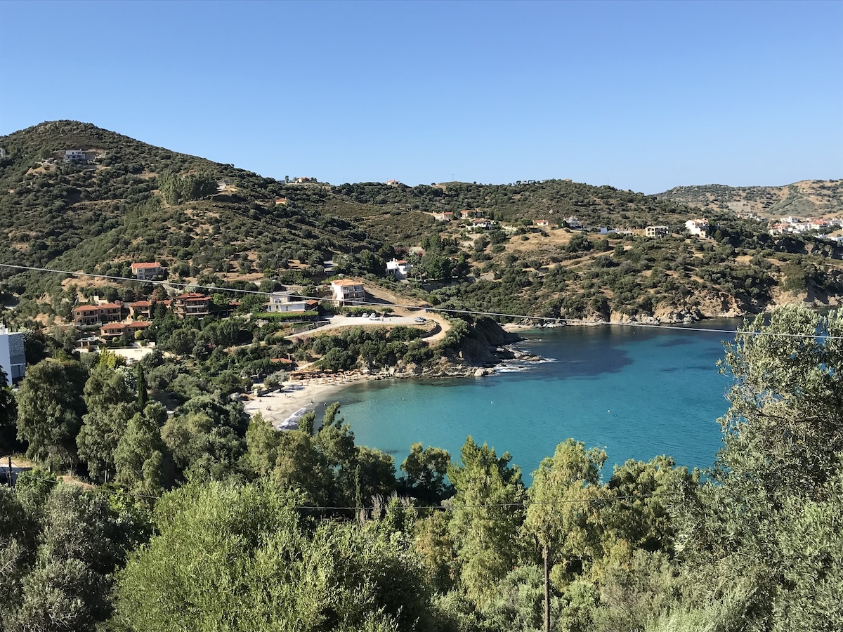
On the open east coast, Kymi sits on a hillside 100 metres above the sea and looks straight down the Aegean. It is the home town of Georgios Papanikolaou, inventor of the Pap test — his house is a small museum — and the surrounding hills grow figs with protected-origin status. The port below connects by ferry with Skyros, which makes it a useful stepping stone north.
Inland: Dystos and the old roads
In the southeast, the ancient citadel of Dystos stands on a hill above a small lake that is now a wetland drawing herons and other birdlife in migration season. Combine it with a drive through the hill villages of the south — Kymi's hinterland is one of the few parts of the island where rural life has not been reorganised around visitors.
The thermal north
Loutra Edipsou, on the northwest coast, has been a spa town since antiquity; the Romans came for the hot springs, and the town still fills its public basins from them. Cape Artemisium, at the island's northern tip, is where the Greek fleet fought the Persian navy in 480 BC in the battle that ran alongside Thermopylae.
What to do in Evia
Time the current
The Euripus reversal happens on a roughly six-hour cycle. Ask locally or check a current table, take a place on the old bridge ten minutes before slack, and watch the floating debris stop, shudder and turn the other way. It is free, it is genuinely strange, and you will not see it anywhere else.
Walk Mount Ochi
The Dimosari gorge route from the village of Myrtos is a steady climb through plane and chestnut trees to springs near the summit ridge — three to four hours return. For something shorter, the dragon house above Myloi is reachable in under an hour.
Soak in Edipsos
Fill an afternoon with the thermal springs of the northwest: the public baths by the harbour are cheap and sulphurous, and the beach right beside them mixes hot springs with sea water where you swim.
Ferry-hop to Skyros
From Kymi's port, the ferry crosses to Skyros — a different island group, a different character, and the easiest way to add the Sporades to an Athens-based trip without a long open-water leg.
Beaches and swim stops in Evia
The gulf coasts have calm, easy swimming; the open Aegean coast has the dramatic beaches and the wind to prove it.
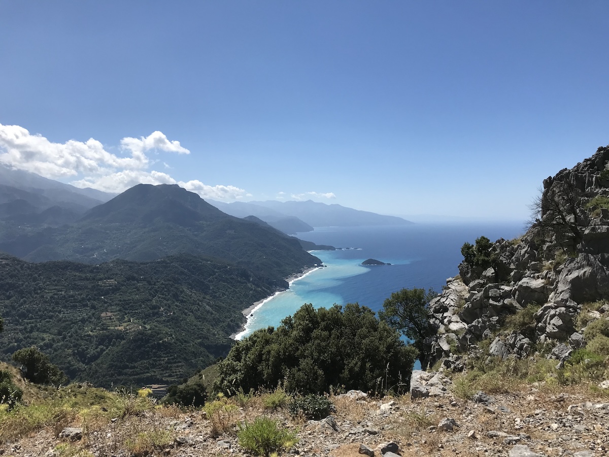
Metochi and Nea Styra
On the west shore of the southern gulf, the beaches around Metochi and Nea Styra have calm, clear water and tavernas along the shore — the most reliable swimming on the gulf side.
Eretria
The town beach stretches south of the ferry quay; convenient and calm, with the water warmed by the shallows of the inner gulf.
Psili Ammos, Karystos
South of Karystos, a long sandy beach facing the Petalioi islands. The water is gulf-calm and the sunset goes straight down the strait toward Attica.
Agios Dimitrios and Hiliadou
On the exposed east coast north of Kymi, these are the island's wildest beaches — big sand, open swell and almost no development. Swim them in the settled mornings of July and August.
Lichadonisia
Off the island's northwestern cape lies a chain of small green islets with white sand shallows, known locally as the "Atlantis of Evia" after a legend that a sunken city lies between them. Boats run from the mainland shore; by yacht it is a day stop in calm weather.
Food and where to eat in Evia
Evia eats like mainland Greece with better fish. The gulfs produce shellfish and small fried fish; the hills produce goat, lamb and cheese; and the island's microclimates grow figs, citrus and olives.
Things to look for: the local pork sausage seasoned with orange, a specialty of the island you will not find elsewhere; Kymi figs, sold dried and fresh, with protected origin status; honey from the slopes of Dirfi; and sheep and goat cheeses from the mountain villages. In the gulf towns, order grilled fish and a plate of shellfish and trust the house — this is fishing-boat country, not import country.
Where to eat
In Chalkis, the seafood tavernas near the old bridge do a brisk trade with locals — come at Greek dinnertime and follow the Greek conversation. In Karystos, the seafront and the lanes behind it hold grill houses and fish tavernas in equal measure. In Loutra Edipsou, the harbourfront tavernas are the social centre of the spa season. And in the villages of the south — Kymi, Styra, Aliveri — the simple kafeneio-tavernas serve the best-value food on the island to people who have never left it.
Exploring Evia by boat
Evia divides into three sailing grounds, and the choice defines the trip.
The Euripus and Chalkis
Transiting between the two gulfs through Chalkis is a memorable manoeuvre and a logistical exercise. The current runs at up to six knots at its peak, so the passage is made at or near slack water; the old sliding bridge in the centre of town opens for shipping on a controlled schedule. Contact the Chalkis port authority ahead of time, treat the whole thing as a daylight operation with a crew briefed on the lines, and never attempt it at peak flow — the vortexes near flow reversal are real. If in doubt, the new high bridge south of town offers more air and width, but the current is the same current.
The South Euboean Gulf
This is the easiest cruising ground within reach of Athens: flat water, short hops and real towns. Nea Styra has a quay, tavernas and a car ferry to Agia Marina on the mainland; Eretria offers a town quay south of its ferry berth plus anchoring room in the bay; Karystos at the southern end is the largest port, with good holding and full services. The Petalioi islands off the southwest coast make excellent lunch anchorages in their coves. All of this is protected from the meltemi — the gulf's whole purpose.
The North Euboean Gulf
North of the Euripus the gulf narrows and the shore steepens. Loutra Edipsou has a harbour with quay space beside the spa town; the small quays at Oreoi and Pefki are pilot-book staples with tavernas and fuel by tanker; the Lichadonisia islets off Cape Lichada are the region's best day anchorage in calm weather. The ferry line from Arkitsa to the mainland and the Glyfa–Agiokambos crossing both operate through the season.
The open Aegean coast
The east coast is a different sport: exposed, deep and beautiful, with few ports. Kymi is the practical exception — its large harbour shelters the Skyros ferry and visiting yachts, and it is the sensible stop for a crossing north. Approach the rest of this coast only in settled weather, and plan the swimming for the mornings before the afternoon meltemi fills in.
Cruising tips
Watch two wind effects. First, the gulfs funnel the daily sea breeze into a strengthening afternoon channel wind — finish passages before it. Second, the capes at the island's ends, Kafireas in the south and Artemisium in the north, accelerate the meltemi seriously; rounding either deserves a forecast and an early start. Distances from the southern tip are short into the Cyclades — Kea is roughly twenty miles — and the northern gulf connects naturally toward the Sporades via Mantoudi's ferry line.
Getting around Evia
The island connects to the mainland by two bridges at Chalkis, and suburban trains run between Chalkis and Athens. Ferries cover the short crossings: Rafina to Marmari, Agia Marina to Nea Styra, Arkitsa to Loutra Edipsou, Glyfa to Agiokambos, and Kymi to Skyros. On the island itself, buses run the main corridors but infrequently; a rental car is the practical tool, and the roads are good.
How many days do you need in Evia?
Evia is a region, not a stopover. Three or four days cover one gulf properly: Chalkis and the Euripus, Eretria, the south-coast beaches and a Karystos base for Mount Ochi — or the northern circuit of Edipsos, the gulf quays and Lichadonisia.
A week lets you do both gulfs with the Euripus transit in the middle — the full length of the island from the Sporades route to the Cyclades doorstep. For an Athens charter week, the southern gulf plus a leg to Kea is the combination that works best.
Islands to visit after Evia
Evia's position makes it the natural bridge between the mainland, the Cyclades and the Sporades.
Kea, southeast, is the shortest Cycladic hop from the island's southern tip: the Lion of Ioulis and the temple terraces of Karthaia above the sea.
Andros, beyond Kea, adds rivers, springs and the best small contemporary-art museum in the islands.
Skyros, east across the Aegean from Kymi, is the odd one out — a Sporades island with a Cycladic feel, unique ponies and the tomb of the poet Rupert Brooke.
Skiathos, north, leads the way into the pine-covered Sporades and the long sand of Koukounaries.
Linked together, Evia and Kea make the easiest first cruise from Athens: flat water, real towns and a Cycladic finish.
Final thoughts
Evia will not give you postcard whitewash — it gives you something more useful: easy miles, real towns, one of the strangest currents on Earth and a coastline most sailing itineraries skip. Start with the southern gulf, time the Euripus, and let the biggest island next door earn its place on the route.
Research sources
Harbour classifications, mooring arrangements and island facts in this guide were cross-checked against the references below.
- Municipality of Chalkis — official information on the capital, the Euripus bridges and local services.
- Wikipedia — Euripus Strait — current speeds, reversal cycle and bridge history.
- Wikipedia — Euboea — geography, ancient history and regional overview.
These references support itinerary research but do not replace live navigational information, port notices or your skipper's judgement.